R500 RTK - Avion Drone
 

R500

Drive the wind Attain a higher goal

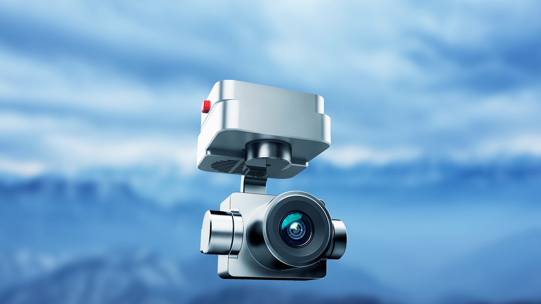
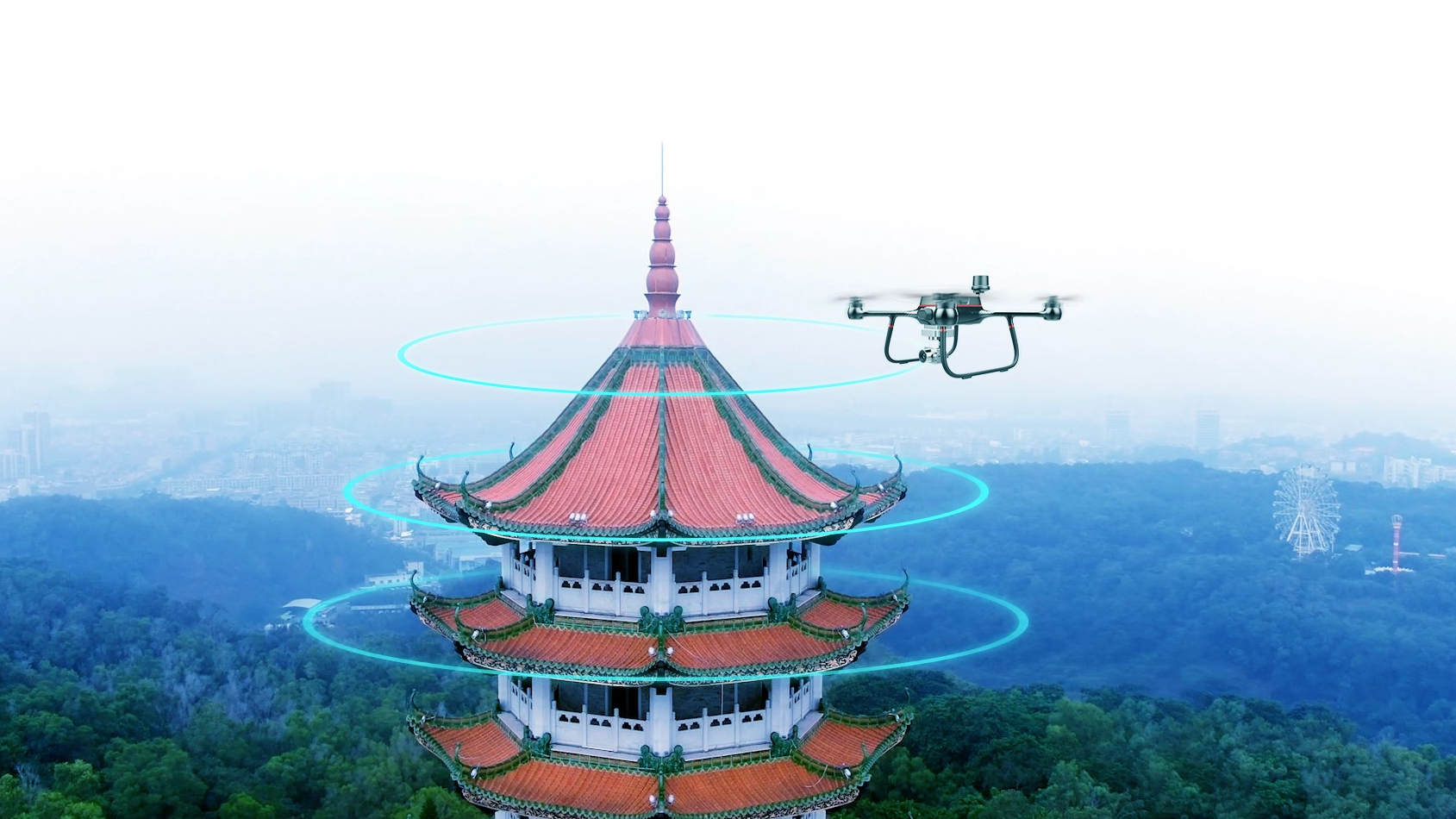
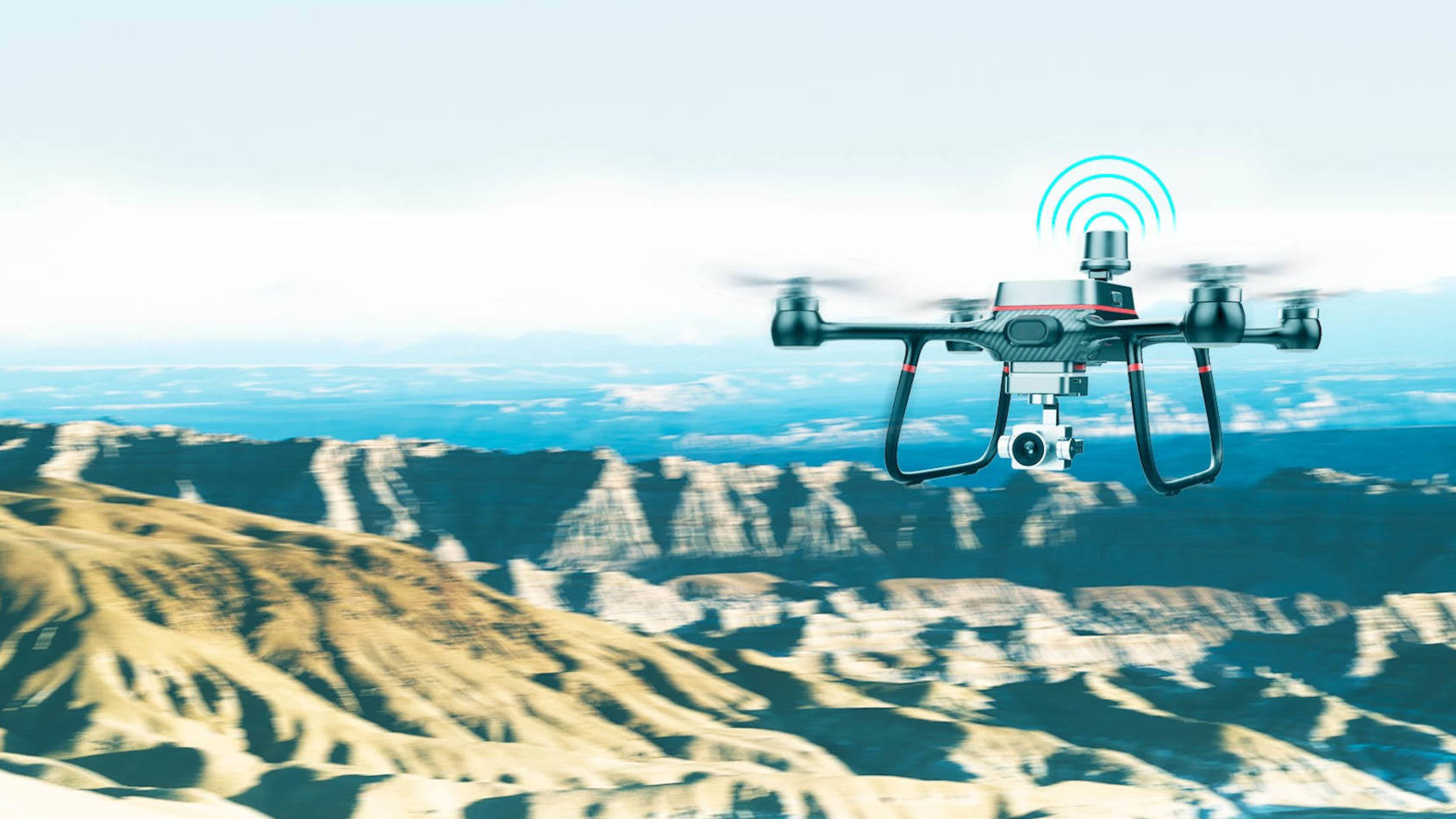
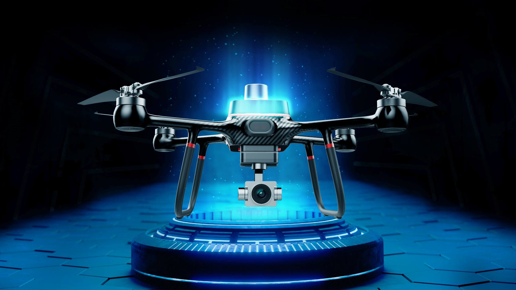
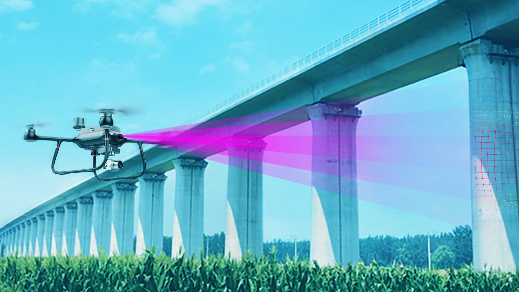
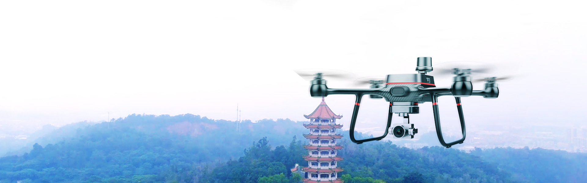
R500 RTK UAV, the fuselage of lightweight carbon fiber fuselage design, light weight for frame, ready to fly. 60 minutes flight time with Grade 7 wind resistance. Equipped with three-axis small gimbal which can support 6K ultra HD camera, starlight night vision camera and infrared thermal imaging camera.

6K ultra high definition aerial camera

Support shooting 6K 25fps, 4K 30fps/60fps video and 21 million pixel photos, support H.265 encoding format output, retain the most true details, 85° ultra-low distortion rate wide Angle lens, let your creation more inspiration.

Born for aerial survey

R500 is a small, multi-rotor, high-precision aerial survey uav for low-altitude photogram-metry applications. Equipped with centimeter-level navigation and positioning system and high-performance imaging system, it is portable and easy to use to comprehensively improve the efficiency of aerial survey.

Basic surveying and mapping

Fast data collection, greatly reduce field costs, flexible generation of a variety of surveying and mapping results.

Spatial planning

UAV fast 2D and 3D precise modeling is combined with a variety of geographical data to intuitively display the planning effect, making the design more scientific and efficient.


Engineering surveying

Enhance the digital level of engineering construction, provide comprehensive information support for design, construction and operation.

Natural resource survey

Efficient data collection, automated information processing, and unmanned aerial vehicle solutions make it possible to refine large-scale natural resource surveys.

12KM transmission

R500 RTK UAV adopts 2.4G long-distance transmission system, which can transmit the maximum map distance up to 12KM. Strong anti-interference ability, stable and reliable transmission.

Network RTK (optional)

Integrated new RTK module, with strong anti-magnetic interference capability and accurate positioning capability, providing real-time centimeter-level positioning data.

Stable and reliable flight control system

The latest control navigation algorithm can realize real-time mutual backup of data. No need to install shock absorption design, giving the aircraft more reliability, for aerial photography to provide stable and reliable flight experience!

60 minutes flight time

Lightweight integrated carbon fiber fuselage design, the fuselage is strong earthquake resistance; Equipped with 7000mAh large-capacity intelligent battery, the maximum continuous flight time is up to 60 minutes (no-load state, hovering flight in the state of no wind at sea level).

Intelligent environment awareness

The forward-looking infrared obstacle avoidance module and the down-looking infrared height setting system can make the aircraft positioning more accurate, perceive the surrounding flying obstacles, and reduce the accidents caused by operation errors.

Specs

Real-time kinematic
Real-time kinematic
Transmission
12KM Max
Video
6K 25fps
Flight time
60-min Max
Rating
IP54