SURVEYING
- 2D / 3D modelling & digital elevation models.
- Progress Monitoring.
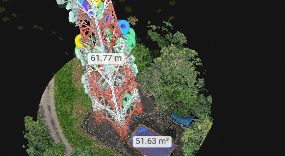
- Measurements such as (GPS co-ordinates, lengths, areas, and volumes).
- Tower & Panoramic View Survey.
- Site Planning
- Aerial Map & Topographic
Contact Us
ANALYSIS
- Slope Analysis
- On-siteQuantity Surveying
- Change Analysis
- Stockpiles
Contact Us
SECURITY
- Disaster Reconnaissance & Management
- Search & Rescue
- Fire Fighting
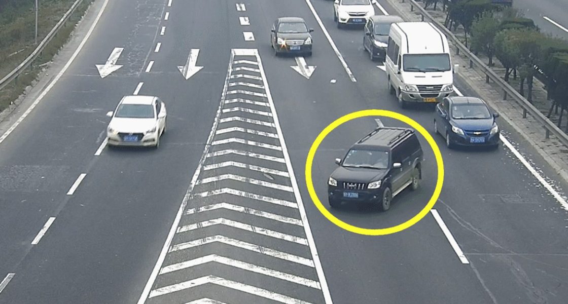
- Law Enforcement
- Life Guard Assistance
- Border / Perimeter Control
Contact Us
INSPECTIONS
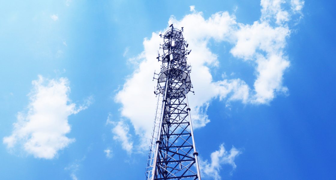
- Cell Tower / Structure Inspections
- Pipeline Inspections
- Power Transmission Inspection
- Asset Inspections
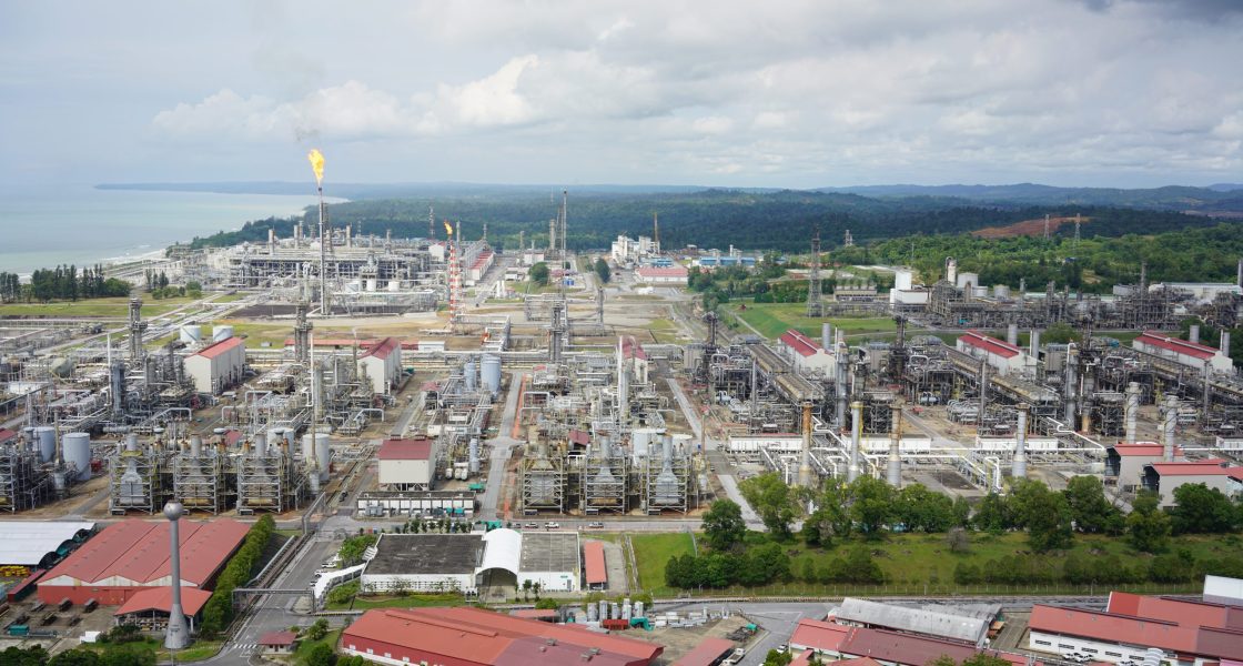
- Oil & Gas Platforms
Contact Us
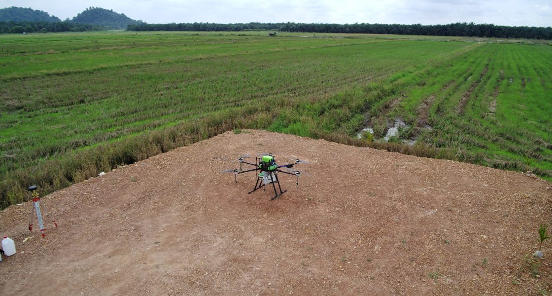
AGRICULTURE
- Change Monitoring
- Terrain Modelling
- Plant Conservation
- Tree Counting
- Pesticides & Fertilizer Spraying
Contact Us
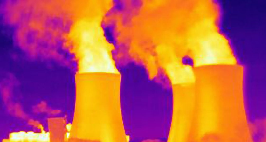
THERMAL
- Photovoltaic Panel Analysis
- Security Applications
- Solar Plant Inspections
Contact Us

